
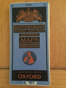
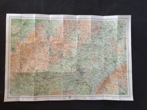
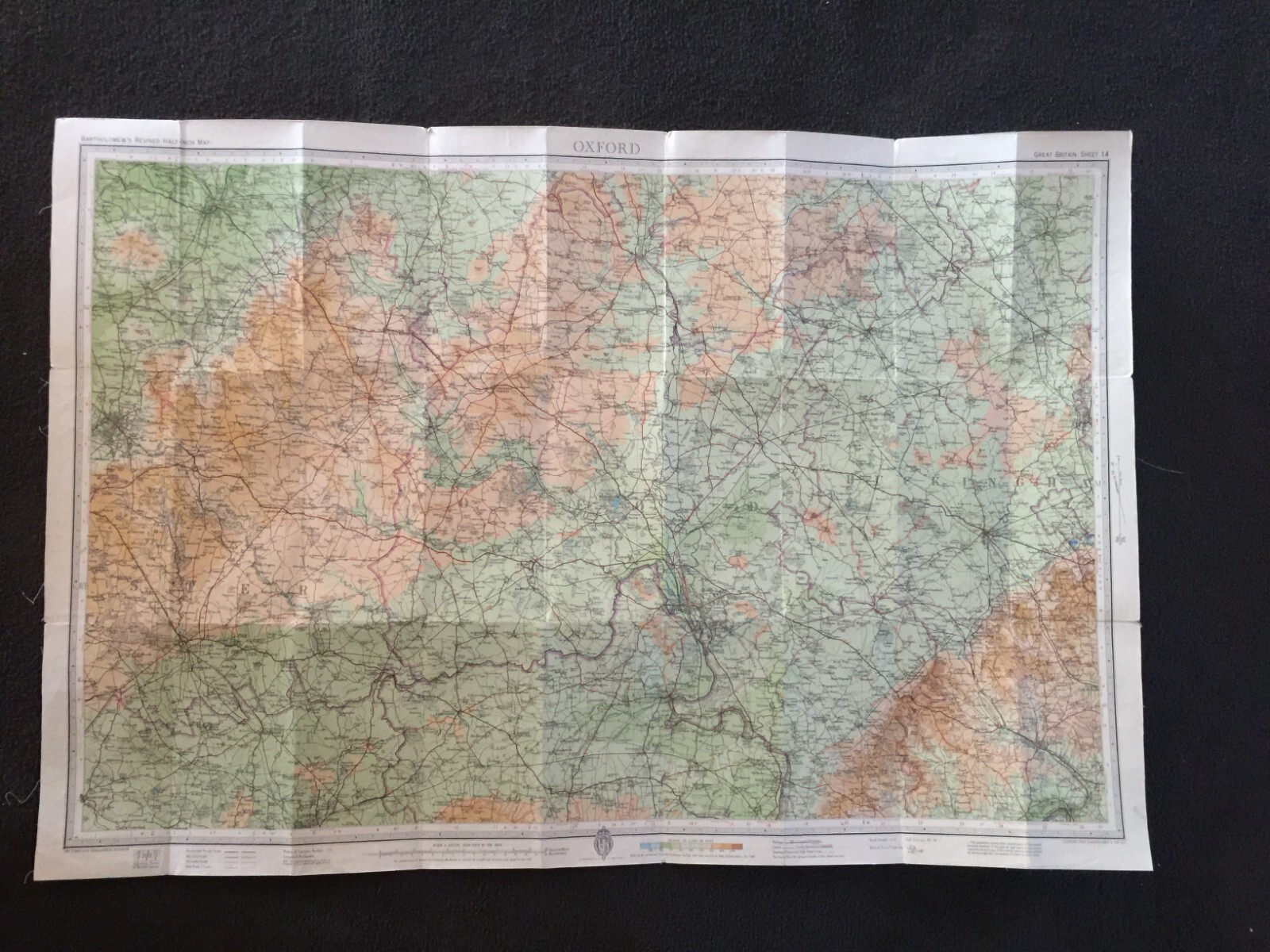
Oxford Antique Map On Cloth By Bartholomew Dated 1950 Vintage Map
GBP 9.99GBP 9.99
Sat, May 17, 10:40 PMSat, May 17, 10:40 PM
Picture 1 of 10


Gallery
Picture 1 of 10


Have one to sell?
Oxford Antique Map On Cloth By Bartholomew Dated 1950 Vintage Map
GBP 9.99
ApproximatelyUS $13.57
Condition:
Oops! Looks like we're having trouble connecting to our server.
Refresh your browser window to try again.
Shipping:
GBP 4.95 (approx US $6.72) Standard Int'l Postage.
International shipment of items may be subject to customs processing and additional charges.
Located in: Great Torrington, Devon, United Kingdom
Delivery:
Estimated between Mon, Jul 28 and Wed, Aug 6 to 94104
Ships today if you order in the next 2 hrs 11 mins
Returns:
Seller does not accept returns.
Payments:
Earn up to 5x points when you use your eBay Mastercard®. Learn moreabout earning points with eBay Mastercard
Shop with confidence
Seller assumes all responsibility for this listing.
eBay item number:135713052592
Item specifics
- Antique
- Yes
- Printing Technique
- Lithography
- Cartographer/Publisher
- John Bartholomew
- City
- Oxford
- County
- Oxfordshire
- Date Range
- 1950-1959
- Type
- County Map
- Format
- Sheet Map
- Year
- 1950
- Era
- 1900s
- State
- n/a
- Original/Reproduction
- Antique Original
- Region
- UK
- Country/Region
- England
- Map Type
- City
- Antique/ Modern
- Antique
Item description from the seller
Seller Feedback
No feedback yet
More to explore :
- John Bartholomew Political Map Antique Atlas Maps,
- John Bartholomew Antique Topographical Maps,
- John Bartholomew Antique Political Maps,
- John Bartholomew Vintage Original Antique Atlas Maps,
- John Bartholomew Vintage Original Antique Political Maps,
- John Bartholomew Antique Atlas Maps,
- Antique European Maps John Bartholomew 1920-1929 Date Range Atlases,
- 1950-1959 Date Range Antique City Maps,
- John Bartholomew Antique Maps, Atlases & Globes,
- 1950-1959 Date Range Antique Thematic Maps