


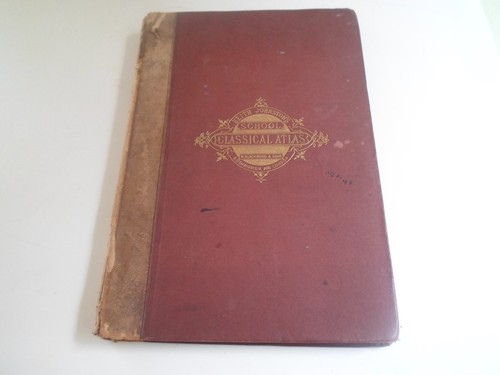
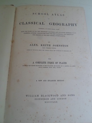


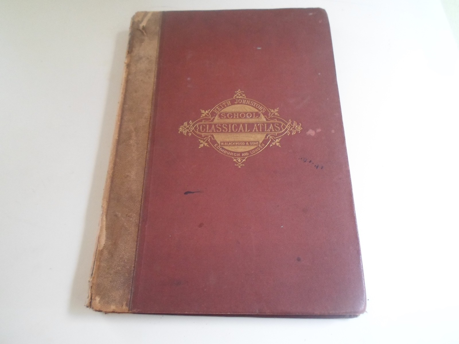
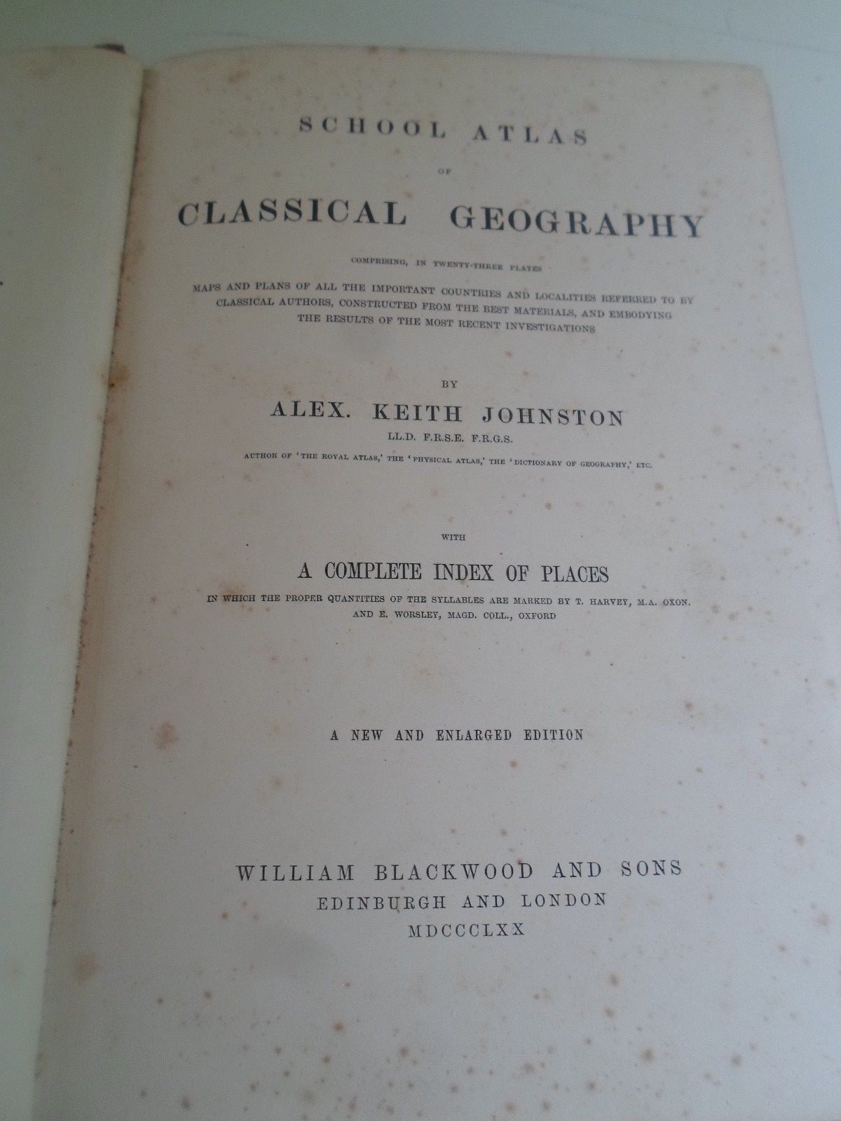
Map 1870 SYRIA ET PALAESTINA By Keith Johnston (Plate 17)
GBP 19.99
ApproximatelyUS $27.21
or Best Offer
Condition:
“Antique Colour Map - In good used condition with some minor wear, minor tears to each end of the ”... Read moreabout condition
- Buy It NowMap 1870 SYRIA ET PALAESTINA By Keith Johnston (Plate 17)
Oops! Looks like we're having trouble connecting to our server.
Refresh your browser window to try again.
Shipping:
GBP 9.99 (approx US $13.60) Royal Mail International Standard.
International shipment of items may be subject to customs processing and additional charges.
Located in: Scarborough, North Yorkshire, United Kingdom
Delivery:
Estimated between Fri, Jun 20 and Thu, Jul 3 to 91768
Returns:
Seller does not accept returns.
Payments:
Earn up to 5x points when you use your eBay Mastercard®. Learn moreabout earning points with eBay Mastercard
Shop with confidence
Seller assumes all responsibility for this listing.
eBay item number:166394505472
Item specifics
- Seller Notes
Item description from the seller
Seller feedback (26,514)
- d***y (641)- Feedback left by buyer.Past monthVerified purchaseHas described very well packaged and arrived safely great value recommended seller
- i***d (360)- Feedback left by buyer.Past 6 monthsVerified purchaseExcellent price. Very good communication. Swift packing and delivery. First class service thank you.
- r***o (665)- Feedback left by buyer.Past 6 monthsVerified purchaseNice item as described quick delivery well packaged. Communication with seller good. would recommend. Thank you
More to explore :
- Keith Johnston Antique Maps, Atlases & Globes,
- Antique European Maps & Atlases Keith Johnston,
- Antique Asian Maps & Atlases Syria,
- Keith Johnston Antique Original Antique Maps, Atlases & Globes,
- Antique European Maps Keith Johnston 1800-1899 Date Range Atlases,
- Keith Johnston Antique Maps, Atlases & Globes 1800-1899 Date Range,
- Antique Asian Maps & Atlases Syria 1700-1799 Date Range,
- Copper Plate Topographical Map Antique Atlas Maps,
- Alexander K. Johnston Antique Original Antique Political Maps,
- Copper Plate County Map Antique Folding Maps