
1920 National Geographic Europe Map Paris Peace Conference Boundary Redraw WWI
US $79.99US $79.99
Thu, May 22, 01:14 PMThu, May 22, 01:14 PM
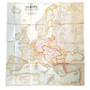


1920 National Geographic Europe Map Paris Peace Conference Boundary Redraw WWI
US $79.99
or Best Offer
Condition:
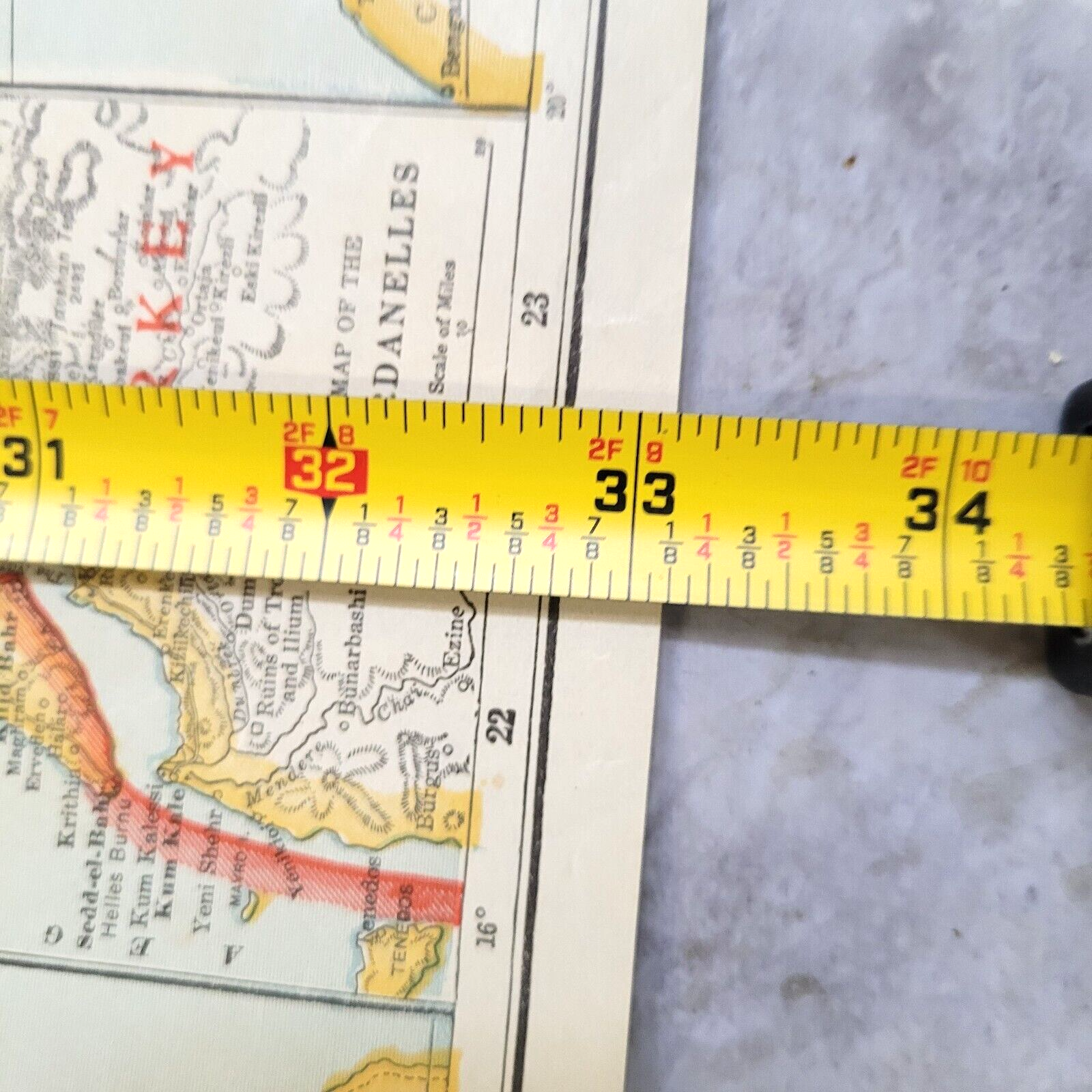
“Antique used condition. General wear overall expected with age. Wear apparent to the corners and ”... Read moreabout condition
Oops! Looks like we're having trouble connecting to our server.
Refresh your browser window to try again.
Shipping:
US $5.85 USPS Ground Advantage®.
Located in: Cincinnati, Ohio, United States
Delivery:
Estimated between Fri, Jun 13 and Fri, Jun 20 to 94104
Returns:
30 days returns. Seller pays for return shipping.
Payments:
.
Special financing available. See terms and apply now- for PayPal Credit, opens in a new window or tab
Earn up to 5x points when you use your eBay Mastercard®. Learn moreabout earning points with eBay Mastercard
Shop with confidence
Seller assumes all responsibility for this listing.
eBay item number:167463947780
Item specifics
- Seller Notes
- Date Range
- 1920-1929
- Type
- Political Map
- Format
- Folding Map
- Year
- 1920
- Original/Reproduction
- Antique Original
- Cartographer/Publisher
- Matthews-Northrup Works
- Country/Region
- Austria, Bulgaria, Czechoslovakia, England, France, Germany, Hungary, Poland, Prussia, Romania, Russia, Yugoslavia
Item description from the seller
Seller Feedback
No feedback yet
More to explore :
- Paris Antique Europe Folding Maps,
- Paris Antique Europe County Maps,
- Paris Antique Europe Railroad Maps,
- Paris Antique Europe River Maps,
- Paris Antique Europe Atlas Maps,
- Paris City Map Antique Europe Atlas Maps,
- Paris France 1920-1929 Date Range Antique Europe Maps & Atlases,
- Paris France Antique Europe Railroad Maps,
- Paris Antique Original Antique Europe City Maps,
- 1920-1929 Date Range Antique Europe County Maps