
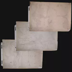
1921 Ordnance Survey Maps, Set of 3 (Leyhill, Westonbirt, Castle Combe)
GBP 30.00GBP 30.00
Sun, May 04, 12:13 PMSun, May 04, 12:13 PM
Picture 1 of 23


Gallery
Picture 1 of 23


Have one to sell?
1921 Ordnance Survey Maps, Set of 3 (Leyhill, Westonbirt, Castle Combe)

GBP 60.00
ApproximatelyUS $80.50
Buy It Now
Condition:
“Good condition for age, with creases, minor tears, modern markings (e.g., ‘9H,’ ‘54’), stapled ”... Read moreabout condition
Ended: May 04, 2025 12:13:23 PDT
Oops! Looks like we're having trouble connecting to our server.
Refresh your browser window to try again.
Shipping:
GBP 87.46 (approx US $117.34) Royal Mail International Tracked.
International shipment of items may be subject to customs processing and additional charges.
Located in: Stroud, United Kingdom
Delivery:
Estimated between Thu, Jul 24 and Fri, Aug 1 to 94104
Returns:
Seller does not accept returns.
Payments:
Earn up to 5x points when you use your eBay Mastercard®. Learn moreabout earning points with eBay Mastercard
Shop with confidence
Seller assumes all responsibility for this listing.
eBay item number:177048336007
Item specifics
- Seller Notes
- Antique
- Yes
- Printing Technique
- Copper Plate
- Cartographer/Publisher
- Ordanance Survey
- City
- Leyhill, Castle Combe, Westonbirt
- County
- Gloucestershire, Wiltshire
- Weight
- 500–700g (approx.)
- Date Range
- 1920-1929
- Type
- Ordnance Survey Map
- Format
- Sheet Map
- Year
- 1921
- Era
- 1920s
- State
- South West England
- Original/Reproduction
- Antique Original
- Height
- 75 cm
- Features
- Set of 3
- Country/Region
- England
- Width
- 102 cm
Item description from the seller
Seller Feedback
No feedback yet
More to explore :
- Antique Ordnance Survey Maps,
- Antique Europe Ordnance Survey Maps,
- Vintage Original Antique Ordnance Survey Maps,
- Antique North America Ordnance Survey Maps,
- Antique Original Antique Ordnance Survey Maps,
- Antique Original Antique Europe Ordnance Survey Maps,
- Royal Crest Castle Rose Antique US Sterling Silver Flatware-Sets,
- Political Map Antique Atlas Maps,
- Nautical Map Antique Atlas Maps,
- City Map Antique Atlas Maps
Seller Feedback
No feedback yet