Picture 1 of 17


Gallery
Picture 1 of 17


Have one to sell?
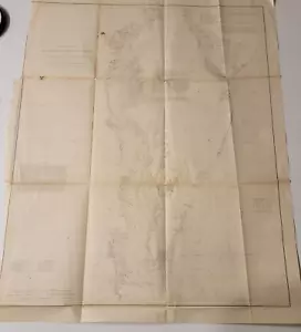
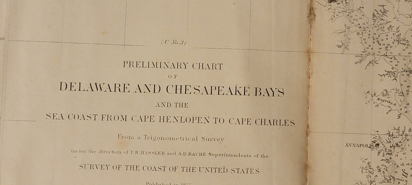
1855 US Coast Survey preliminary chart map Chesapeake Delaware Bays Baltimore
US $125.00
or Best Offer
as low as $42.64/mo with
Condition:
- Buy It Now1855 US Coast Survey preliminary chart map Chesapeake Delaware Bays Baltimore
Oops! Looks like we're having trouble connecting to our server.
Refresh your browser window to try again.
Shipping:
Free USPS Media MailTM.
Located in: Lafayette, Colorado, United States
Delivery:
Estimated between Tue, Jul 29 and Sat, Aug 2 to 94104
Returns:
Seller does not accept returns.
Payments:
.
As low as $42.64/mo with Klarna.
Special financing available. See terms and apply now- for PayPal Credit, opens in a new window or tab
Earn up to 5x points when you use your eBay Mastercard®. Learn moreabout earning points with eBay Mastercard
Shop with confidence
Seller assumes all responsibility for this listing.
eBay item number:196941410302
Item specifics
- Date Range
- 1850-1899
- Type
- Nautical Map
- Format
- Folding Map
- Printing Technique
- Lithography
- US State
- Delaware, Maryland, Virginia
- Year
- 1855
- Original/Reproduction
- Antique Original
- Cartographer/Publisher
- A. D. Bache
- City
- Baltimore, Charleston
- Country/Region
- United States of America
Item description from the seller
Seller feedback (70)
- 4***3 (2447)- Feedback left by buyer.Past yearVerified purchaseItem as described 👍, fast shipping 👍 very well packaged 👌 and nice contact 😁 - thank you very much 🌟🌟🌟🌟🌟Vintage Apple Computer lanyard pen Logo “The Power to Be Your Best" 1980s/1990s (#196904356009)
- v***v (99)- Feedback left by buyer.Past 6 monthsVerified purchaseFast Shipping and well packed. Very nice item at a good price. Thank you.
- f***5 (5)- Feedback left by buyer.Past 6 monthsVerified purchaseAs described and quickly despatched. Packaged well. Thank you.
More to explore :
- Antique Ordnance Survey Maps,
- Antique Europe Ordnance Survey Maps,
- US Coast Guard Antique Maritime Navigational Charts,
- Vintage Original Antique Ordnance Survey Maps,
- Antique Original Antique Ordnance Survey Maps,
- Delaware County Map Antique North America Atlas Maps,
- Antique North American Maps & Atlases Delaware,
- Delaware Antique North America River Maps,
- Delaware Antique North America County Maps,
- Delaware County Map Antique North America Atlas