


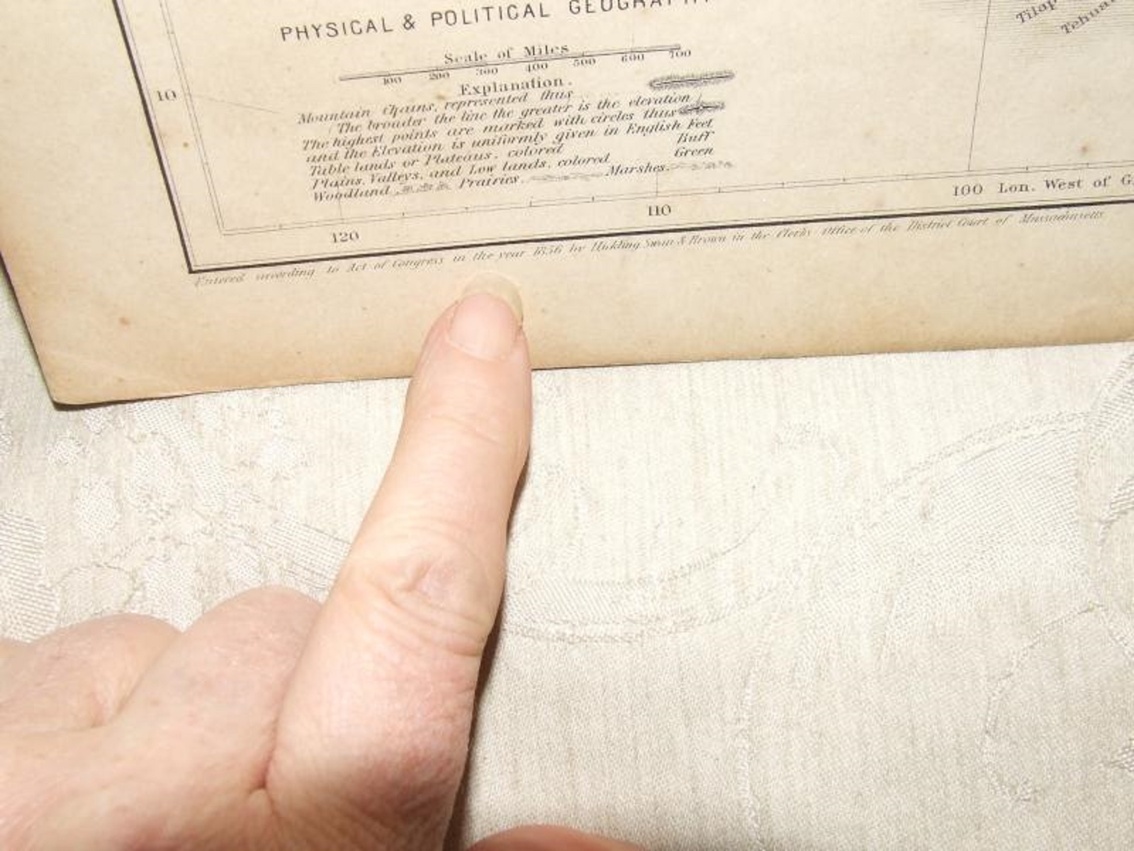
1856 MAP of North America Cartee's Physical Geography Hickling Swan & Brown
US $125.00
or 4 interest-free payments of $31.25 available with
Condition:
“Near Fine antique condition”
- Buy It Now1856 MAP of North America Cartee's Physical Geography Hickling Swan & Brown
Oops! Looks like we're having trouble connecting to our server.
Refresh your browser window to try again.
Shipping:
US $13.85 USPS First Class®.
Located in: Hanover, Massachusetts, United States
Delivery:
Estimated between Sat, Jul 12 and Mon, Jul 21 to 94104
Returns:
Seller does not accept returns.
Payments:
.
4 interest-free payments of $31.25 available with Klarna.
Special financing available. See terms and apply now- for PayPal Credit, opens in a new window or tab
Earn up to 5x points when you use your eBay Mastercard®. Learn moreabout earning points with eBay Mastercard
Shop with confidence
Seller assumes all responsibility for this listing.
eBay item number:201193667825
Item specifics
- Seller Notes
- “Near Fine antique condition”
- Maker
- Hickling, Swan & Brown
- Format
- Atlas Map
- US State
- All states
- City
- All cities
- Country/Region
- United States of America
- Canadian Province
- All Provinces
- Cartographer/Publisher
- Cartees
- Date Range
- 1856
- Type
- Map
- Original/Reproduction
- Original
Item description from the seller
Seller feedback (4,957)
- b***s (2859)- Feedback left by buyer.Past 6 monthsVerified purchaseFast shipping, item was packaged well for the journey, and was received as advertised. I found great value for the price. I highly recommend this seller.1940s PHOTO ALEXIS SMITH Warner Movie Star 5x7 Black & White Studio Glamour Shot (#201121727589)
- 1***o (104)- Feedback left by buyer.Past monthVerified purchasedifferent !! Shipping / packing/ value 👍👍👍
- 4***a (75)- Feedback left by buyer.Past 6 monthsVerified purchaseArrived on time, packaged well, and in great condition as described!Dec 1974 Volume 1 #1 METRO NEWS Washington Metropolitan Area Transit Authority (#205076859996)
More to explore :
- Antique North America Physical Maps,
- Physical Map Antique North America Folding Maps,
- Physical Map Antique North America Atlas Maps,
- Physical Map Antique North America Atlas,
- Michigan Antique North America Physical Maps,
- George Cram Antique North America Physical Maps,
- Rand McNally & Co. Antique North America Physical Maps,
- 1900-1909 Date Range Antique North America Physical Maps,
- 1910-1919 Date Range Antique North America Physical Maps,
- Physical Map Antique South America Atlas Maps