


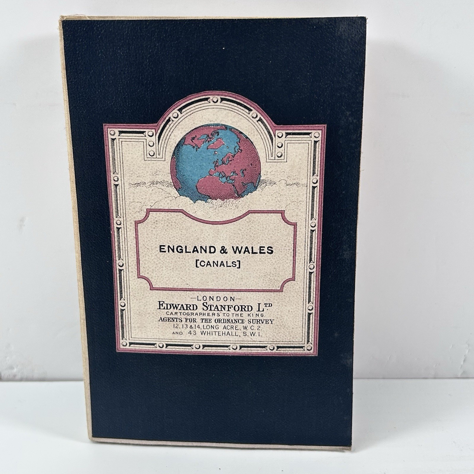


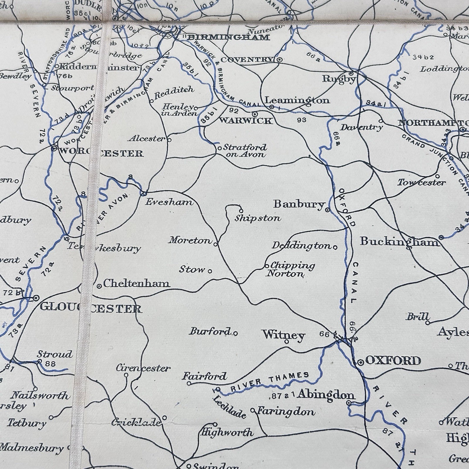


1904 Bradshaw's Map Canals And Navigable Rivers of England And Wales Ed Stanford
GBP 37.76
ApproximatelyUS $51.00
Condition:
“Very good condition with light wear and marks commensurate with age. See photos for details”
- Buy It Now1904 Bradshaw's Map Canals And Navigable Rivers of England And Wales Ed Stanford
Oops! Looks like we're having trouble connecting to our server.
Refresh your browser window to try again.
Shipping:
GBP 24.95 (approx US $33.70) International Priority Shipping to United States via eBay's Global Shipping Program.
Located in: Cheltenham, United Kingdom
Import charges:
Free amount confirmed at checkout
Delivery:
Estimated between Fri, Jun 6 and Mon, Jun 16 to 94104
Includes international tracking
Returns:
Seller does not accept returns.
Payments:
Earn up to 5x points when you use your eBay Mastercard®. Learn moreabout earning points with eBay Mastercard
Shop with confidence
Seller assumes all responsibility for this listing.
eBay item number:226699295454
Item specifics
- Seller Notes
- “Very good condition with light wear and marks commensurate with age. See photos for details”
- Antique
- Yes
- Date Range
- 1900-1909
- Type
- River Map
- Format
- Folding Map
- Year
- 1904
- Era
- 1900s
- Cartographer/Publisher
- Edward Stanford
- Original/Reproduction
- Antique Original
- Country/Region
- England, Wales
Item description from the seller
Seller feedback (1,259)
- j***n (7686)- Feedback left by buyer.Past 6 monthsVerified purchaseGreat item at a nice price, received as described, well packaged and delivered fast and securely by a professional seller with good communication and customer service. Would purchase from again in the future. Thank you for a hassle free easy transaction.
- a***r (1693)- Feedback left by buyer.Past 6 monthsVerified purchaseExcellent service. Outstanding communication, sensible negotiating over price, very prompt despatch in solid package and quick delivery. Thank youVintage The British Red Cross Society Enamel Pin Badge Wiltshire County W LUCE (#226399252168)
- 3***w (26)- Feedback left by buyer.Past yearVerified purchaseItem was exactly as described and was well priced. Securely packaged and promptly despatched - I ordered on Wednesday and received my item on Friday. I am pleased with my purchase and would happily buy from this vendor again.Vintage Tarot of Marseille Cards Complete Mini Deck & Instructions Lo Scarabeo (#226361344750)
More to explore :
- Wales Antique Europe Maps & Atlases,
- Wales Antique Europe Railroad Maps,
- Wales Antique Europe Sheet Maps,
- Wales Antique Europe Folding Maps,
- Wales Antique Europe Atlas Maps,
- Antique European Maps & Atlases Wales London,
- Wales Antique Original Antique Europe Sheet Maps,
- England Antique Europe Maps & Atlases,
- England County Map Antique Europe Atlas Maps,
- London Wales London Antique Europe Maps & Atlases