
American State map from Mitchell's Atlas 1865 Plan of Philadelphia Dated 1860
US $35.00US $35.00
Sun, May 18, 06:38 AMSun, May 18, 06:38 AM


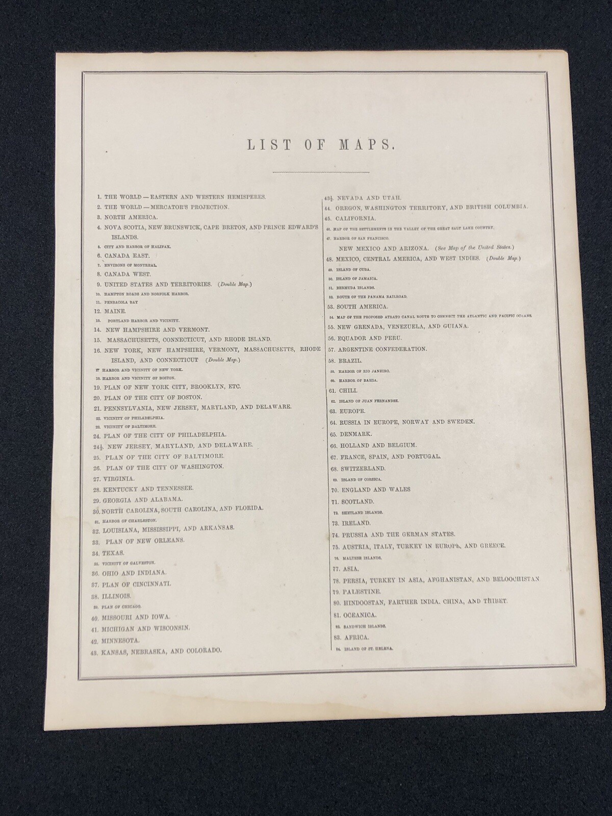
American State map from Mitchell's Atlas 1865 Plan of Philadelphia Dated 1860
US $35.00
or Best Offer
Condition:
Oops! Looks like we're having trouble connecting to our server.
Refresh your browser window to try again.
Shipping:
US $8.80 delivery in 2–4 days
Get it between Wed, Jun 4 and Fri, Jun 6 to 94104.
Located in: Folsom, California, United States
Returns:
30 days returns. Seller pays for return shipping.
Payments:
.
Special financing available. See terms and apply now- for PayPal Credit, opens in a new window or tab
Earn up to 5x points when you use your eBay Mastercard®. Learn moreabout earning points with eBay Mastercard
Shop with confidence
Seller assumes all responsibility for this listing.
eBay item number:335923028518
Item specifics
- Date Range
- 1800-1899
- US State
- Indiana, Ohio
- Format
- Atlas
- Year
- 1865
- Original/Reproduction
- Vintage Original
- City
- Philadelphia
- Country/Region
- United States of America
Item description from the seller
Seller feedback (1,636)
- r***2 (977)- Feedback left by buyer.Past 6 monthsVerified purchaseDon’t ever hesitate to buy from this seller. Customer service is over the top and I doubt you will find better on eBay. The shipping and handling prices were very reasonable for the amount of care that went into packaging my items. Item was exactly as described and I feel we have always worked together for what we both felt was a reasonable value whenever making a purchase with this seller. Excellent A+ seller and just a dang good human!
- 1***e (108)- Feedback left by buyer.Past 6 monthsVerified purchaseThis seller nailed it—super fast shipping, item exactly as described. The item was packed well and arrived undamaged. Great item at a great price. Thrilled with my purchase!
- a***i (2146)- Feedback left by buyer.Past yearVerified purchaseGreat eBay seller. One-of-a-kind historically significant item. Great value. Exactly as described. Meticulously well-packed and shipped quickly. Thank you!c1918-1930 Hawaii HI Postcard RPPC Photo Hula Girl Hawaiian Island Unposted (#335620687269)
More to explore :
- Samuel Augustus Mitchell 1800-1899 Date Range Antique Atlas Maps,
- Philadelphia 1800-1899 Date Range Antique North America Atlas Maps,
- Philadelphia 1900-1909 Date Range Antique North America Atlas Maps,
- Philadelphia 1910-1919 Date Range Antique North America Atlas Maps,
- Atlas 1900-1909 Date Range County Map Antique North American Maps & Atlases,
- Atlas 1920-1929 Date Range County Map Antique North American Maps & Atlases,
- Wisconsin Antique North American Maps Atlas 1800-1899 Date Range & Atlases,
- 1960-1969 Date Range Antique Atlas Maps,
- Antique World Atlas 1910-1919 Date Range Maps, Atlases & Globes Atlas Map,
- Samuel Augustus Mitchell Lithography Antique Atlas Maps