


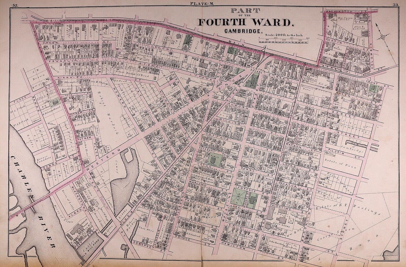


1873 Plat Map, CAMBRIDGE, MA - PART of 4th WARD - CENTRAL SQUARE (17x27)-#09
US $48.88
or Best Offer
Was US $68.88 (29% off)
or 4 interest-free payments of $12.22 available with
Condition:
“This map is not *new* or *new* condition. It was printed in 1873 & removed from a Cambridge, ”... Read moreabout condition
- Buy It Now1873 Plat Map, CAMBRIDGE, MA - PART of 4th WARD - CENTRAL SQUARE (17x27)-#09
Oops! Looks like we're having trouble connecting to our server.
Refresh your browser window to try again.
Shipping:
Free USPS Ground Advantage®.
Located in: New Braunfels, Texas, United States
Delivery:
Estimated between Fri, Jun 6 and Fri, Jun 13 to 94104
Returns:
30 days returns. Buyer pays for return shipping. If you use an eBay shipping label, it will be deducted from your refund amount.
Payments:
.
4 interest-free payments of $12.22 available with Klarna.
Special financing available. See terms and apply now- for PayPal Credit, opens in a new window or tab
Earn up to 5x points when you use your eBay Mastercard®. Learn moreabout earning points with eBay Mastercard
Shop with confidence
Seller assumes all responsibility for this listing.
eBay item number:356788074027
Item specifics
- Seller Notes
- US State
- Massachusetts
- SIZE
- 17 x 27
- Color
- Hand tinted - original coloring
- Cartographer/Publisher
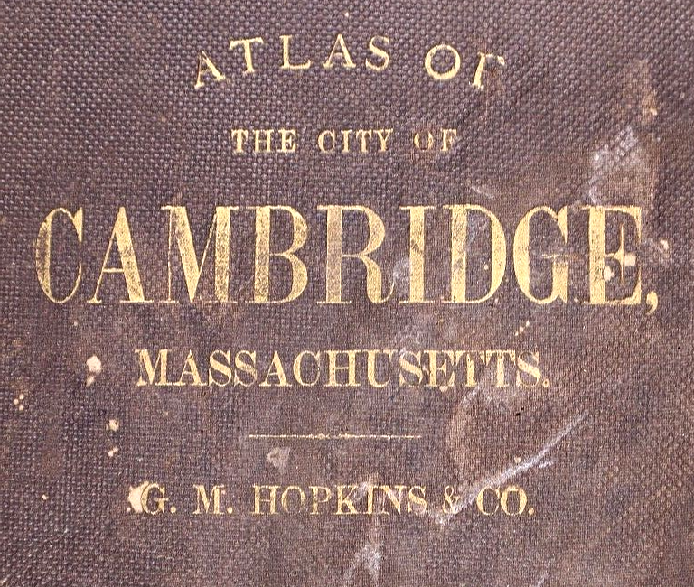
- G. M. Hopking & Co.
- City
- Cambridge
- Date Range
- 1800-1899
- Type
- City Map
- Format
- Atlas Map
- Year
- 1873
- S&H
- Free S&H USA - Calculated S&H Worldwide
- Original/Reproduction
- Antique Original
- Land Owners
- Great for ancestry, genealogy & family history research
- Original
- This map page was printed in 1873.
- Ref.
- The cover & title page are not included.
- Age
- Over 150 years old.
Item description from the seller

Seller feedback (9,547)
- n***d (91)- Feedback left by buyer.Past 6 monthsVerified purchaseExtraordinary piece of history, fast shipping,great packaging, as described, affordable prices. Outstanding seller. 10k recommended.
- r***c (134)- Feedback left by buyer.Past 6 monthsVerified purchaseItem was packaged well and delivered as described. Quick shipping and good communication from seller. A+ transaction. Thank you!
- r***5 (6058)- Feedback left by buyer.Past 6 monthsVerified purchaseNice map at a fair price, accurately described. A seller I have previously bought from before and will buy from in the future. Packaged well, shipped fast and free!1871 Plat Map ~ ROCKTON Twp., BELOIT CITY, WINNEBAGO Co., ILLINOIS ~(15x17)-#010 (#405400075912)
More to explore :
- Antique European Maps & Atlases Cambridge,
- Cambridge Antique Europe County Maps,
- Cambridge County Map Antique North America Atlas Maps,
- Antique European Maps & Atlases Cambridge England,
- Cambridge Antique North America Atlas Maps,
- Cambridge Antique North America Maps & Atlases,
- Antique Central America/Caribbean Maps & Atlases,
- Antique Central America/Caribbean Nautical Maps,
- Antique Central America/Caribbean Wall Maps,
- Panama Antique Central America/Caribbean Maps & Atlases
Seller feedback (9,547)
- n***d (91)- Feedback left by buyer.Past 6 monthsVerified purchaseExtraordinary piece of history, fast shipping,great packaging, as described, affordable prices. Outstanding seller. 10k recommended.
- r***c (134)- Feedback left by buyer.Past 6 monthsVerified purchaseItem was packaged well and delivered as described. Quick shipping and good communication from seller. A+ transaction. Thank you!
- r***5 (6058)- Feedback left by buyer.Past 6 monthsVerified purchaseNice map at a fair price, accurately described. A seller I have previously bought from before and will buy from in the future. Packaged well, shipped fast and free!1871 Plat Map ~ ROCKTON Twp., BELOIT CITY, WINNEBAGO Co., ILLINOIS ~(15x17)-#010 (#405400075912)