


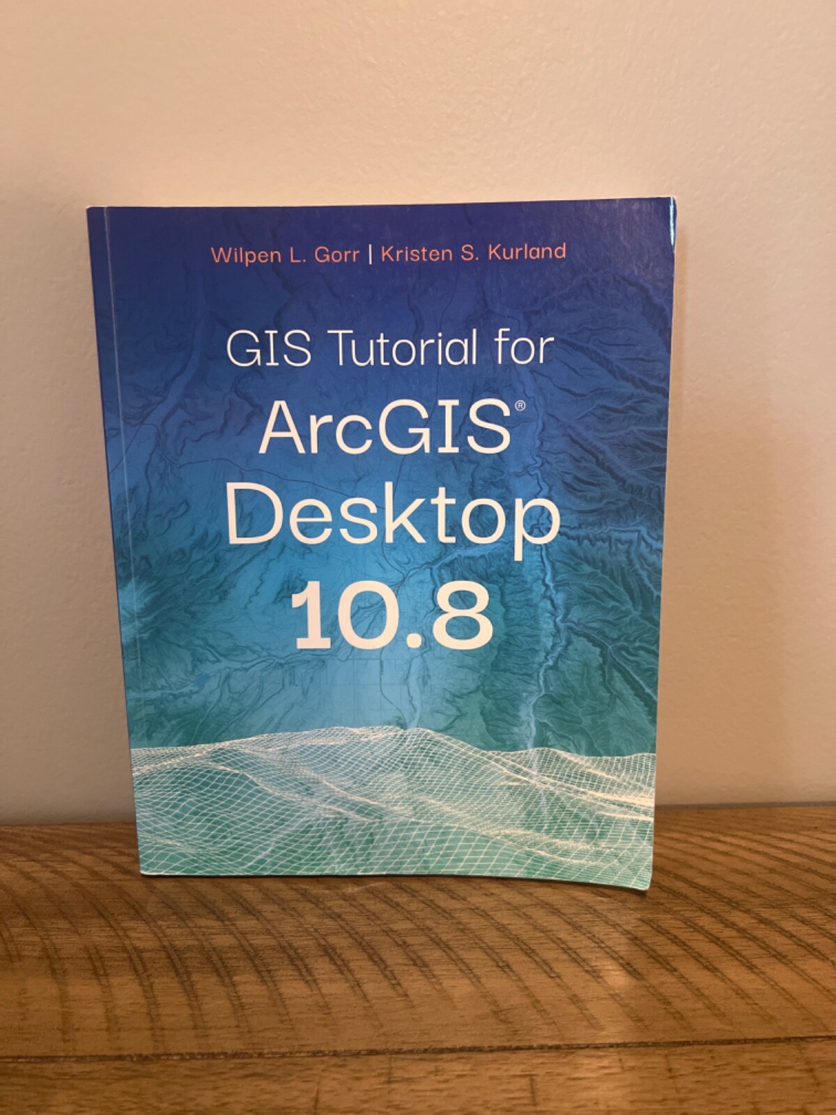


GIS Tutorial Ser.: GIS Tutorial for ArcGIS Desktop 10. 8 by Kristen S....
US $32.00
or Best Offer
Condition:
Very Good
A book that does not look new and has been read but is in excellent condition. No obvious damage to the cover, with the dust jacket (if applicable) included for hard covers. No missing or damaged pages, no creases or tears, and no underlining/highlighting of text or writing in the margins. May be very minimal identifying marks on the inside cover. Very minimal wear and tear. See the seller’s listing for full details and description of any imperfections.
- Buy It NowGIS Tutorial Ser.: GIS Tutorial for ArcGIS Desktop 10. 8 by Kristen S....
Oops! Looks like we're having trouble connecting to our server.
Refresh your browser window to try again.
Shipping:
US $6.13 USPS Media MailTM.
Located in: Green Cove Springs, Florida, United States
Delivery:
Estimated between Thu, May 8 and Mon, May 12 to 43230
Returns:
Seller does not accept returns.
Payments:
Special financing available. See terms and apply now- for PayPal Credit, opens in a new window or tab
Earn up to 5x points when you use your eBay Mastercard®. Learn moreabout earning points with eBay Mastercard
Shop with confidence
Seller assumes all responsibility for this listing.
eBay item number:365048934458
Item specifics
- Condition
- ISBN
- 9781589486140
- Subject Area
- Computers, Technology & Engineering
- Publication Name
- Gis Tutorial for Arcgis Desktop 10. 8
- Publisher
- Esri, Incorporated
- Item Length
- 10 in
- Subject
- Référence, Data Visualization, Remote Sensing & Geographic Information Systems
- Publication Year
- 2020
- Series
- Gis Tutorial Ser.
- Type
- Textbook
- Format
- Trade Paperback
- Language
- English
- Features
- New Edition
- Item Weight
- 0 Oz
- Item Width
- 8 in
- Number of Pages
- 448 Pages
About this product
Product Identifiers
Publisher
Esri, Incorporated
ISBN-10
1589486145
ISBN-13
9781589486140
eBay Product ID (ePID)
20050407647
Product Key Features
Number of Pages
448 Pages
Language
English
Publication Name
Gis Tutorial for Arcgis Desktop 10. 8
Subject
Référence, Data Visualization, Remote Sensing & Geographic Information Systems
Publication Year
2020
Features
New Edition
Type
Textbook
Subject Area
Computers, Technology & Engineering
Series
Gis Tutorial Ser.
Format
Trade Paperback
Dimensions
Item Weight
0 Oz
Item Length
10 in
Item Width
8 in
Additional Product Features
Edition Number
7
Intended Audience
College Audience
LCCN
2020-944209
Illustrated
Yes
Table Of Content
Part I: Using and making maps Chapter 1:Introduction Chapter 2:Map design Chapter 3:GIS outputs Part II: Working with spatial data Chapter 4:File geodatabases Chapter 5:Spatial data Chapter 6:Geoprocessing Chapter 7:Digitizing Chapter 8:Geocoding Part III: Analyzing spatial data Chapter 9:Spatial analysis Chapter 10:ArcGIS 3D Analyst Chapter 11:ArcGIS Spatial Analyst Chapter 12:ArcGIS Network Analyst Appendix A: Data credits
Edition Description
New Edition
Synopsis
Updated for use with ArcGIS® Desktop 10.8 GIS Tutorial for ArcGIS Desktop 10.8 is the updated replacement for GIS Tutorial 1: Basic Workbook, 10.3 Edition , a classic textbook for teaching ArcGIS® Desktop. GIS Tutorial for ArcGIS Desktop 10.8 teaches the fundamentals of using ArcGIS Desktop, the popular professional geographic information systems (GIS) application from Esri. Rooted in the science of geography, GIS is a framework for gathering, managing, and analyzing data using map visualizations and location intelligence. GIS and ArcGIS have become the mainstay of many businesses, organizations, and institutions. Updated with new images and simplified steps for using the latest version of the software, GIS Tutorial for ArcGIS Desktop 10.8 introduces readers to the tools and functionality of ArcGIS Desktop 10.8. Learn how to use ArcMap and ArcCatalog to make maps, work with spatial data, and analyze spatial data for proximity analysis and site suitability analysis. Gain hands-on experience using ArcGIS 3D Analyst(tm), ArcGIS Spatial Analyst(tm), and ArcGIS Network Analyst(tm) extensions, as well as ArcGIS Online and other software products. Each chapter is designed from decades of GIS teaching experience by authors Wilpen L. Gorr (ret.) and Kristen S. Kurland, professors at Carnegie Mellon University in Pittsburgh, Pennsylvania. Incorporating proven teaching methods in detailed exercises, "Your Turn" sections, and homework assignments, this book is suited to learning GIS in the classroom or by self-learners. Data for completing the exercises is available for free download. Renewing a proven standard: GIS Tutorial for ArcGIS Desktop 10.8 helps users explore GIS concepts, apply ArcGIS software, and gain GIS skills, regardless of learning style., Updated for use with ArcGIS(R) Desktop 10.8 GIS Tutorial for ArcGIS Desktop 10.8 is the updated replacement for GIS Tutorial 1: Basic Workbook, 10.3 Edition , a classic textbook for teaching ArcGIS(R) Desktop. GIS Tutorial for ArcGIS Desktop 10.8 teaches the fundamentals of using ArcGIS Desktop, the popular Updated with new images and simplified steps for using the latest version of the software, GIS Tutorial for ArcGIS Desktop 10.8 introduces readers to the tools and functionality of ArcGIS Desktop 10.8. Learn how to use ArcMap and ArcCatalog to make maps, work with spatial data, and analyze spatial data for proximity analysis and site suitability analysis. Gain hands-on experience using ArcGIS 3D Analyst(TM), ArcGIS Spatial Analyst(TM), and ArcGIS Network Analyst(TM) extensions, as well as ArcGIS Online and other software products. Each chapter is designed from decades of GIS teaching experience by authors Wilpen L. Gorr (ret.) and Kristen S. Kurland, professors at Carnegie Mellon University in Pittsburgh, Pennsylvania. Incorporating proven teaching methods in detailed exercises, "Your Turn" sections, and homework assignments, this book is suited to learning GIS in the classroom or by self-learners. Data for completing the exercises is available for free download. Renewing a proven standard: GIS Tutorial for ArcGIS Desktop 10.8 helps users explore GIS concepts, apply ArcGIS software, and gain GIS skills, regardless of learning style., From working with map layers to analyzing spatial data, GIS Tutorial for ArcGIS Desktop 10.8 helps users explore GIS concepts, apply ArcGIS software, and gain GIS skills.
LC Classification Number
G70.212.G742 2020
Item description from the seller

Popular categories from this store
Seller feedback (85)
- m***s (449)- Feedback left by buyer.Past monthVerified purchaseArrived today in perfect condition! Excellent packing and arrived very quickly! It’s even more prettty in person! As described and looks great in my kitchen! Great price and reasonable shipping charges as well. Would definitely purchase from again! A+ seller! Thank you!!!!!
- r***0 (20)- Feedback left by buyer.Past 6 monthsVerified purchaseIncredibly fast shipping, thoughtfull packaging. Item actually came in much better conditions than the photo (was cleaned quite thoroughly!). would absolutely purchsae from the seller in the future confidently.Microsoft Xbox 360 Wired Controller - Black OEM (#365215726976)
- 6***t (9)- Feedback left by buyer.Past yearVerified purchaseRecommended seller- Great game at a fair price! Sent out timely, packed super safely (expecting a large storm soon so very thankful for this!), in exact condition shown. Works perfectly too. Thank you!Hamtaro: Ham-Hams Unite (Nintendo Game Boy Color, 2002) Cartridge ONLY (#365115387938)
More to explore :
- Ages 4-8 Children's Books,
- EBook (Digital Delivery)s,
- Antiquarian & Collectible Books Hunter S. Thompson,
- Fiction & Ages 4-8 Intended Audience Books,
- William S. Burroughs Antiquarian & Collectible Books,
- William S. Burroughs Fiction Fiction & Books,
- Antiquarian & Collectible Books Pearl S. Buck,
- Age 4-8 Picture Books for Children,
- Board Books in Russian for Children Ages 4-8,
- Box Set Fiction Ages 4-8 Intended Audience & Books
Popular categories from this store
Seller feedback (85)
- m***s (449)- Feedback left by buyer.Past monthVerified purchaseArrived today in perfect condition! Excellent packing and arrived very quickly! It’s even more prettty in person! As described and looks great in my kitchen! Great price and reasonable shipping charges as well. Would definitely purchase from again! A+ seller! Thank you!!!!!
- r***0 (20)- Feedback left by buyer.Past 6 monthsVerified purchaseIncredibly fast shipping, thoughtfull packaging. Item actually came in much better conditions than the photo (was cleaned quite thoroughly!). would absolutely purchsae from the seller in the future confidently.Microsoft Xbox 360 Wired Controller - Black OEM (#365215726976)
- 6***t (9)- Feedback left by buyer.Past yearVerified purchaseRecommended seller- Great game at a fair price! Sent out timely, packed super safely (expecting a large storm soon so very thankful for this!), in exact condition shown. Works perfectly too. Thank you!Hamtaro: Ham-Hams Unite (Nintendo Game Boy Color, 2002) Cartridge ONLY (#365115387938)