
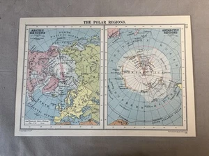
The Polar Regions : Arctic and Antarctic Maps - 1935 Vintage Coloured Paper Map
GBP 3.50GBP 3.50
Wed, May 14, 04:56 AMWed, May 14, 04:56 AM
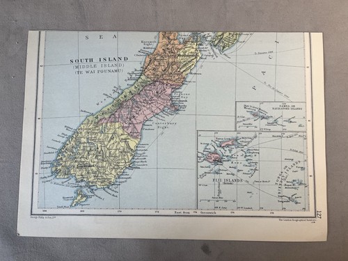
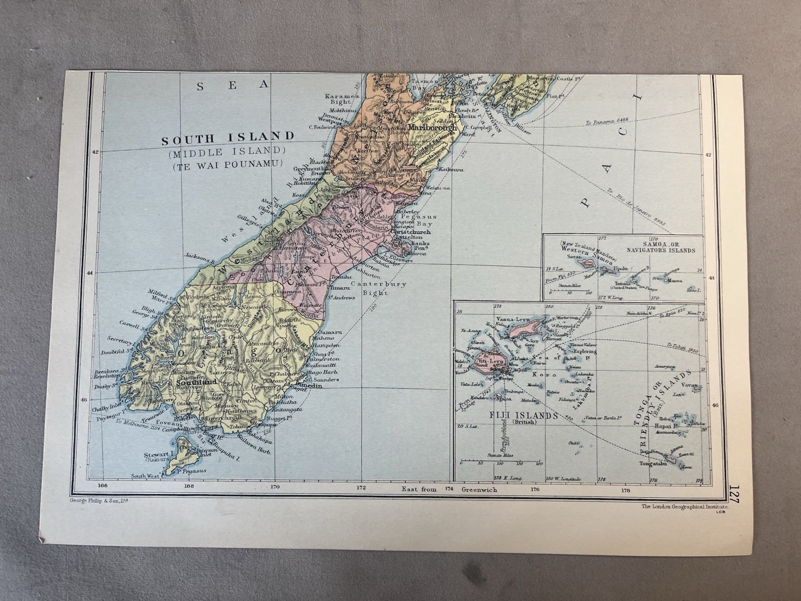
Picture 1 of 4


Gallery
Picture 1 of 4


Have one to sell?
The Polar Regions : Arctic and Antarctic Maps - 1935 Vintage Coloured Paper Map

GBP 3.50
ApproximatelyUS $4.72
or Best Offer
Was GBP 5.00 (30% off)
Condition:
“PRE OWNED - see Item Description”
Ended: May 14, 2025 04:56:33 PDT
Oops! Looks like we're having trouble connecting to our server.
Refresh your browser window to try again.
Shipping:
GBP 7.00 (approx US $9.45) Royal Mail International Standard.
International shipment of items may be subject to customs processing and additional charges.
Located in: Leamington Spa, Warwickshire, United Kingdom
Delivery:
Estimated between Thu, Jul 24 and Wed, Aug 6 to 91768
Returns:
30 days returns. Buyer pays for return shipping. If you use an eBay shipping label, it will be deducted from your refund amount.
Payments:
Earn up to 5x points when you use your eBay Mastercard®. Learn moreabout earning points with eBay Mastercard
Shop with confidence
Seller assumes all responsibility for this listing.
eBay item number:396522969298
Item specifics
- Seller Notes
- “PRE OWNED - see Item Description”
- Antique
- Yes
- Date Range
- 1930-1939
- Type
- World Atlas
- Printing Technique
- Lithography
- Format
- Atlas Map
- Year
- 1935
- Era
- 1900s
- Map View
- Polar Regions
- Original/Reproduction
- Vintage Original
- Cartographer/Publisher
- The London Geographical Institute
Item description from the seller

Popular categories from this store
Seller feedback (2,808)
- *****- Feedback left by buyer.Past monthVerified purchaseWell packaged hardback as described and value for money. Postage was very quick
- *****- Feedback left by buyer.Past monthVerified purchaseGreat packaging and great postage great value brilliant as described
- *****- Feedback left by buyer.Past 6 monthsVerified purchasedelivered ,well packed ,as described ,good price, thanks
This is a private listing and your identity will not be disclosed to anyone except the seller.
More to explore :
- North Polar Region Antique World Maps & Atlases,
- North Polar Region Lithography Antique World Maps & Atlases,
- North Polar Region Antique Original Antique World Maps & Atlases,
- North Polar Region 1800-1899 Date Range Antique World Maps & Atlases,
- Vintage Original County Map Antique Sheet Maps,
- Vintage Original County Map Antique Folding Maps,
- Vintage Reproduction County Map Antique Atlas Maps,
- Vintage Original Topographical Map Antique Sheet Maps,
- Political Map Vintage Original Antique School Maps,
- Physical Map Vintage Original Antique North America Atlas Maps
Popular categories from this store
Seller feedback (2,808)
- *****- Feedback left by buyer.Past monthVerified purchaseWell packaged hardback as described and value for money. Postage was very quick
- *****- Feedback left by buyer.Past monthVerified purchaseGreat packaging and great postage great value brilliant as described
- *****- Feedback left by buyer.Past 6 monthsVerified purchasedelivered ,well packed ,as described ,good price, thanks