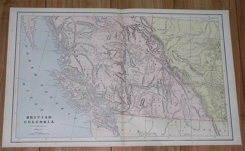
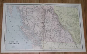
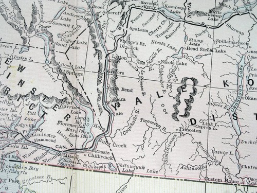
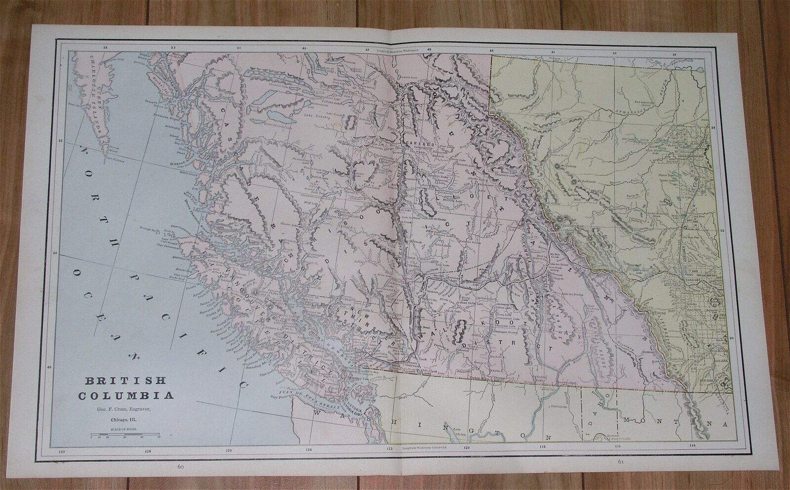
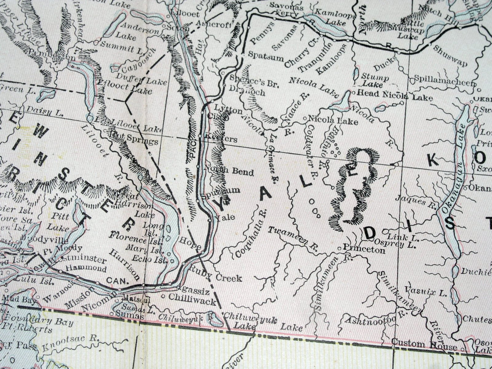
1890 ANTIQUE MAP OF BRITISH COLUMBIA VANCOUVER ISLAND ROCKIES ALBERTA CALGARY
US $33.87US $33.87
Sat, Apr 26, 11:30 AMSat, Apr 26, 11:30 AM
Picture 1 of 14


Gallery
Picture 1 of 14


Have one to sell?
1890 ANTIQUE MAP OF BRITISH COLUMBIA VANCOUVER ISLAND ROCKIES ALBERTA CALGARY
US $33.87
or Best Offer
Condition:
“SEVERAL STAINS AND PRINTING ERRORS - PLEASE SEE THE PHOTOS.”
Oops! Looks like we're having trouble connecting to our server.
Refresh your browser window to try again.
Shipping:
Free Standard Shipping from Canada.
International shipment of items may be subject to customs processing and additional charges.
Located in: Montreal, Quebec, Canada
Delivery:
Estimated between Thu, Jul 31 and Mon, Aug 4 to 94104
Returns:
60 days returns. Seller pays for return shipping.
Payments:
Special financing available. See terms and apply now- for PayPal Credit, opens in a new window or tab
Earn up to 5x points when you use your eBay Mastercard®. Learn moreabout earning points with eBay Mastercard
Shop with confidence
Seller assumes all responsibility for this listing.
eBay item number:405783639848
Item specifics
- Seller Notes
- “SEVERAL STAINS AND PRINTING ERRORS - PLEASE SEE THE PHOTOS.”
- Date Range
- 1800-1899
- Year
- 1890
- Canadian Province
- Alberta, British Columbia
- City
- Vancouver
Item description from the seller
Seller Feedback
No feedback yet
More to explore :
- British Columbia Vancouver American Antique Maps & Atlases,
- British Columbia Vancouver Canada Antique North America Maps & Atlases,
- British Columbia Canada American Antique Maps & Atlases,
- Antique North American Maps & Atlases British Columbia,
- British Columbia California American Antique Maps & Atlases,
- British Columbia Campeche Antique North America Maps & Atlases,
- British Columbia Alabama Antique North America Maps & Atlases,
- Alberta Antique North America Atlas Maps,
- Alberta Antique North America Folding Maps,
- Antique North American Maps & Atlases Alberta